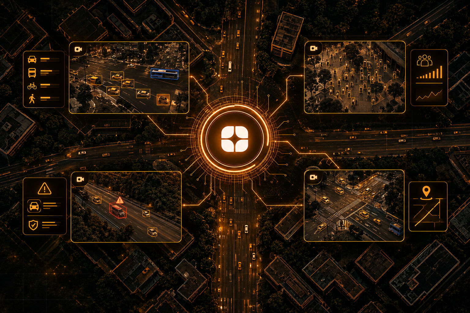
Cities now watch themselves through thousands of fixed cameras and sensors: junction cameras, transit hubs, public squares, and counters along roads. AI promises to turn that stream into something useful, such as spotting a stalled vehicle, measuring how a crowd builds, or flagging a safety problem before someone has to look at a screen.
But a model can only learn what the labels teach it. Smart city sensor and CCTV data labeling is less about drawing boxes on frames and more about deciding what counts as an event, and doing so the same way across every camera. This post looks at what makes this footage hard to label and what urban monitoring AI needs from its training data.
Camera footage is usually labeled for vehicles, pedestrians, queues, lane use, and incidents. Sensor data, such as vehicle counts, noise levels, or air readings, is matched to the video by time so the model can learn what the numbers looked like on the street.
Traffic AI studies flow and congestion, safety AI looks for incidents, and monitoring AI tracks how public spaces are used. All depend on labels that mean the same thing from one camera to the next.
A fixed camera sees the same scene day and night, which sounds simple and is not.
Conditions change constantly: Glare, night lighting, rain on the lens, and building shadows all alter how a junction looks. Rules written for clear afternoons will fail at midnight.
Every site is different: Cameras are mounted at different heights and angles, so identical objects appear at different sizes and shapes. A label rule that works at one junction can break at the next.
Distance changes everything: Vehicles far from the lens shrink to a few pixels, while those close by fill the frame. Annotators need a rule for when an object is too small or too blurred to label.
Things block each other: A bus can hide a motorbike, and a pole can cut a pedestrian in half. Labelers must decide whether to mark what is partly visible or what is probably there.
The hardest part of this work is deciding what an event is. Events unfold over time, so labelers mark when they start and stop, not just whether they appear in a frame.
Consider a few examples:
Without written thresholds, two annotators label the same clip differently, and the model learns noise, raising false alarms or missing real incidents. Context also matters: a crowd on a festival evening is not an alarm.
Road users differ by city and country. Motorised two-wheelers, three-wheelers, cycles, handcarts, buses, and trucks mix in ways that vary widely, and a class list copied from another region will merge or miss them.
Zones need the same care. Pedestrian crossings, bus bays, loading areas, and lane markings follow local rules and local habits. Annotators who know how a city's streets actually work label them more accurately than those working from a template.
Public footage captures people who never agreed to be studied. Responsible labeling treats this as part of the task, not an afterthought.
That means clear rules about what is labeled: a "person" or "vehicle," not an identity. It means masking faces and plate numbers where the project requires it, restricting who can view raw footage, and keeping a record of who accessed what. Annotators should see only what the task needs.
These rules should be written down before labeling starts, since fixing them afterwards is far harder.
Many projects pair video with sensor readings. The two must line up in time, and clocks do not always agree. A small offset can attach a traffic count to the wrong moment, and the model learns the wrong link between what it sees and what was measured.
Annotation rules should say which source to trust in a conflict and how to flag timing drift or sensor gaps.
Signs, boards, and plates in several scripts add another layer to street footage, a theme we explore in multilingual public sector data annotation: why official language is its own challenge.
People who understand traffic and public safety bring knowledge that tools cannot. They know the difference between a vehicle that is parked and one that is stalled, how junctions are laid out, and what a real near-miss looks like on video.
They also write the rules that keep a large team consistent: thresholds for events, class lists tied to local road use, and privacy handling that matches the project. This reflects Globik AI's approach of using verified domain experts for work that depends on judgment, and it supports the audit-ready standards that public sector projects expect.
Before starting a smart city labeling project, settle these points:
Labeling city footage well starts with deciding what the city cares about and writing it down. Clear event definitions, local classes, careful privacy handling, and reviewers who know how streets work give smart city sensor and CCTV data labeling the consistency it needs. With that foundation, a model can tell the difference between a moment worth flagging and an ordinary day on the street.
It is the labeling of fixed-camera video and sensor data so AI can recognize vehicles, people, and incidents in public spaces.
Events unfold over time, so written thresholds are needed for what counts as an incident, or labelers will disagree and the model will learn noise.
Lighting, weather, camera angle, distance, and blocked views change across sites and times, so one rule set must cope with many conditions.
Projects set rules to label object types rather than identities, mask sensitive details where required, and limit and record access to raw footage.
They understand local road use and incident types, so they can apply consistent, audit-ready rules across many cameras.