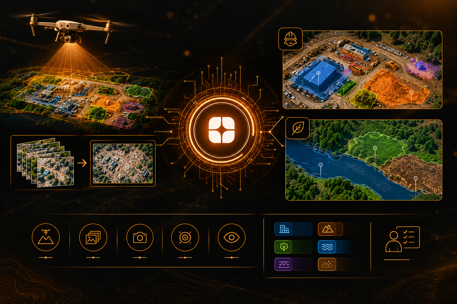
A drone can capture a construction site or a stretch of wetland in more detail than most satellites ever will. Individual objects that blur into a single pixel from orbit become clear: a stack of materials, a drainage channel, a patch of bare soil. That level of detail is exactly why drone imagery annotation is valuable, and exactly why it is easy to get wrong.
Teams use it for two main jobs. In site inspection, models learn to recognize structures, stockpiles, and progress on the ground. In environmental mapping, they learn to separate vegetation, water, and exposed surfaces. Both depend on geospatial AI training data that reflects how drone imagery is actually captured and processed.
Drone images are not simply smaller satellite images. They have their own properties, and each one affects how labels should be made.
Ground sampling distance, the real-world size of a single pixel, changes with the altitude of the flight. A drone flown low shows fine detail, and the same drone flown higher shows much less. Two flights over the same place can produce images where one object looks entirely different in size and texture.
Drone surveys usually capture hundreds of overlapping photos that are stitched into a single large image called an orthomosaic. Stitching can leave seams, stretched areas, and small distortions, especially near tall objects. An annotator who does not know how the map was built may label a processing artifact as if it were a real feature.
Some drone images look straight down, while others are taken at an angle to capture the sides of structures. Each needs different labeling rules, and mixing them without clear guidance produces inconsistent data.
Drones may carry standard color cameras, multispectral cameras, or thermal cameras. Reading these correctly takes training, because the same surface can look very different depending on the sensor.
At this resolution, an annotator sees small items that a satellite would hide: a pipe on the ground, a parked vehicle, a hand-built wall. Each one forces a choice about whether it belongs in the dataset, and without written rules, different annotators will answer differently.
Wind, vibration, and low light can introduce blur, and glare off water or metal roofs can wash out detail. Annotators need guidance on when an image is good enough to label and when it should be flagged for a re-flight.
On a construction or industrial site, the goal is usually to turn images into a record of what is where. Annotators may outline buildings under construction, mark material stockpiles, label access roads, or identify boundaries and fences.
The hard part is that sites change quickly and look cluttered. Temporary structures, parked machinery, scaffolding, and piles of material crowd the frame. A trained annotator separates what belongs in each class from what is simply passing through, and follows rules about partly built structures so that the same situation is labeled the same way across the whole dataset.
Measurement is another concern. When a label is used to estimate the size of a stockpile or the extent of cleared ground, outlines must follow the true edge of the object. An outline drawn loosely around a pile can change an estimate noticeably, because small boundary errors scale up when converted to area.
For environmental work, drones are often used to map small, detailed areas that satellites handle poorly: a riverbank, a drainage network, a protected patch of land, a restoration site.
The challenge here is that natural boundaries are rarely clean. Where does a wetland end and dry ground begin? At what point does sparse vegetation count as bare soil? Water can appear dark, bright, or green depending on depth, glare, and algae. Annotators need clear class definitions and enough domain knowledge to apply them with confidence.
Vegetation adds another layer. At this resolution, an annotator can see individual shrubs and tree crowns, so the project must decide whether to label single plants, clusters, or general cover. Farm monitoring is one more use of the same imagery, and it follows the same logic: define the classes first, then label to the definition.
Remote sensing specialists and GIS-trained annotators know how drone imagery is produced. They recognize stitching errors, understand how flight height changes what an object looks like, and can read different sensor types. They also write the rules that keep a large team consistent when the imagery is ambiguous.
That knowledge matters because drone datasets are often small and carefully chosen, so every label carries more weight. This reflects Globik AI's approach of using verified domain experts for work that depends on judgment. For the foundations of labeling overhead imagery, see our guide on why satellite imagery annotation needs remote sensing specialists.
Before starting a drone annotation project, settle these points:
Drone imagery gives teams detail that other sources cannot match, but that detail only helps if the labels are accurate. Differences in flight height, stitching, camera angle, and sensor type all change what the image shows. Strong drone imagery annotation accounts for these differences, defines classes clearly, and relies on people who understand how the imagery was made.
It is the labeling of images captured by drones so AI models can learn to recognize structures, surfaces, and features on the ground.
It is a single large image stitched together from many overlapping drone photos, often with some distortion or seams.
Altitude changes the real-world size of each pixel, so the same object can look very different between flights.
Annotators typically label structures, stockpiles, access roads, and site boundaries so models can track what is on a site.
Natural boundaries like wetland edges and sparse vegetation are gradual, so consistent rules are needed to label them the same way every time.