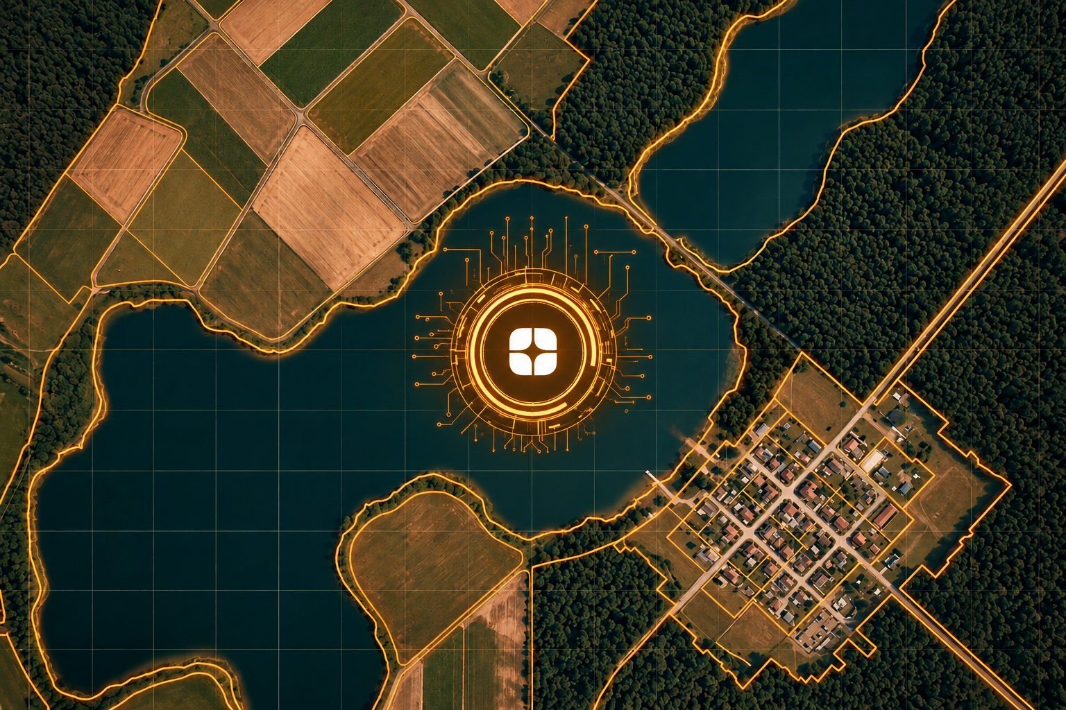
A satellite image looks simple at first glance: green patches, grey patches, blue patches. But every patch is a decision. Is that green area forest, grassland, or irrigated land? Is the grey area a rooftop, a road, or bare rock? Models built for urban planning, climate monitoring, and national mapping programs learn those decisions from labels, and the quality of the labels sets the ceiling for the model.
That is why satellite imagery annotation is not standard image labeling. It is interpretation work that rests on remote sensing principles and GIS fundamentals. Teams building geospatial AI training data need annotators who understand what the sensor actually recorded, not just what the picture resembles.
Land use and land cover labeling is one of the most common tasks in geospatial AI, and two different ideas hide inside it. Land cover describes what physically sits on the surface: trees, water, pavement, bare soil, buildings. Land use describes what people do with that land: housing, industry, recreation, farming, conservation.
The two do not map one to one. A patch of grass might be a park, a pasture, a golf course, or the edge of an airfield. A rooftop could belong to a home, a warehouse, or a hospital. Cover can often be read straight from the pixels. Use frequently needs context, such as surrounding patterns, shapes, access roads, and layout. A good annotator knows which question each class is asking and which evidence answers it.
Then there is the geometry. Annotators draw polygons or segmentation masks over imagery that carries real coordinates, a defined map projection, and a fixed pixel size. A label here is not just a region of a picture. It is a claim about a location on Earth.
General annotation workforces are trained on everyday objects like cars, faces, and products. Overhead imagery breaks those habits in several specific ways.
Class definitions get blurred: Without a clear separation of cover and use, labelers fall back on intuition. One annotator calls a mown field “grassland” and another calls it “recreation.” The model receives contradictory signals for the same appearance, and no single mistake looks serious enough to catch.
Spectral signatures are misread: Satellite sensors capture more than visible light. Many products include near-infrared and other bands, and annotators often work from false-color composites where vegetation, water, and built surfaces show up in distinctive ways. Someone who has never worked with these composites may treat a vivid patch as an error or miss a distinction a specialist reads at a glance.
Mixed pixels sit on every boundary: Each pixel records the combined signal of everything inside it. Where a road runs beside a field or a shoreline meets a wetland, one pixel can hold several classes at once. Specialists apply consistent rules for where boundaries fall. Generic labelers tend to draw whatever line looks clean.
Appearance shifts with season and sensor: The same woodland looks different in leaf-on and leaf-off months, and imagery from different sensors differs in resolution and band response. A model trained on labels that ignore this can end up learning the date of the image instead of the nature of the land.
Scale rules are missing: Every project needs a minimum mapping unit, meaning a rule for how large a feature must be to earn its own label. Without one, a single annotator marks every small shed while another folds them into the surrounding class, and the dataset becomes inconsistent from tile to tile.
Remote sensing specialists and GIS-trained annotators work from principles rather than guesses. They understand why different surfaces reflect light the way they do, how a composite image is built, and how a map projection affects measured shapes. They can tell when two classes are genuinely distinct and when a taxonomy is asking something the imagery cannot answer.
That expertise is also what makes strong guidelines possible. A specialist can document how to treat shadows from tall buildings, steep slopes that darken one side of a valley, seasonal wetlands, or half-built construction sites, and then keep every annotator consistent with those rules. This is the idea behind verified domain experts: the person labeling the data should understand the field the data comes from. It also shortens review cycles, because errors are caught by someone who can explain why a label is wrong, not just that it looks off.
For teams that need this level of rigor, Globik AI’s geospatial AI training data services pair satellite and aerial imagery annotation with remote sensing and GIS-trained specialists.
If you are preparing a land use and land cover dataset, these checks catch most problems early:
Satellite imagery rewards the people who know how to read it. Generic labelers can draw clean outlines, but clean outlines on the wrong classes, inconsistent boundaries, or mismatched seasons produce a model that looks confident and maps the world incorrectly. The errors are quiet, they repeat across thousands of tiles, and they are expensive to find after training. For any team building geospatial AI training data, the choice of annotator is a modeling decision, not a staffing detail.
It is the process of labeling features in satellite images, such as water, vegetation, buildings, and roads, so geospatial AI models can learn to recognize them.
Land cover describes what physically covers the surface, while land use describes how people use that land.
They are rarely trained in remote sensing, GIS, or spectral interpretation, so class definitions, boundaries, and seasonal differences get labeled inconsistently.
It is a pixel whose signal combines more than one surface type, which is common at boundaries like shorelines and field edges.
It should define each class with a clear test, name the imagery bands and dates to use, set a minimum mapping unit, and explain how to handle mixed areas.