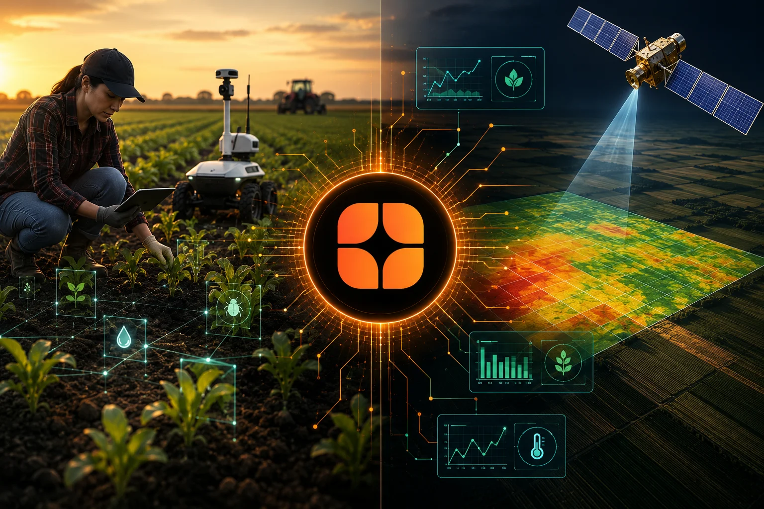
Agriculture AI has a compelling origin story built almost entirely around satellite imagery. A satellite passes overhead, captures multispectral data across thousands of hectares in a single sweep, and an algorithm turns that data into vegetation indices, moisture estimates, and yield predictions covering an entire region in a fraction of the time manual field surveys would take. It's an impressive capability, and it's understandably become the public face of precision agriculture.
But satellite data has a structural limitation that rarely gets acknowledged as clearly as it should: it sees averages, not individuals. A satellite image covering a hectare of farmland reports a single aggregated reading for that entire area, smoothing over the pest infestation in one corner, the nutrient deficiency in another, and the specific stage of disease progression on the plants closest to the field's edge. For agriculture AI to actually help farmers make better decisions, rather than just producing impressive-looking regional maps, it needs ground-level data, real observations from real fields, real crops, and real conditions, that satellite imagery alone simply cannot provide.
Satellite-based agriculture AI relies primarily on remote sensing: multispectral and hyperspectral imagery capturing how crops reflect and absorb different wavelengths of light, which correlates with plant health, water stress, and general vegetation vigor. This data has real, valuable strengths.
Scale and coverage. Satellite imagery can cover vast agricultural regions repeatedly and consistently, offering visibility into large-scale patterns that would be prohibitively expensive and slow to gather through ground survey alone.
Consistency over time. Regular satellite passes create a time series that can track how a region's vegetation health changes across a growing season, which is genuinely useful for identifying broad trends.
Accessibility. Satellite data doesn't require physical presence in a field, making it a practical starting point for monitoring agriculture across regions where ground-based infrastructure is limited.
But satellite data also has real, structural limits that matter enormously for the specific decisions farmers actually need to make.
Spatial resolution averages away exactly the detail that matters. Most satellite imagery, even at relatively high resolution, aggregates data across an area far larger than the scale at which real agricultural problems actually occur. A pest outbreak that started in one section of a field, or a drainage issue affecting a specific low-lying corner, gets blended into a broader average that can mask the problem entirely until it's spread significantly.
Satellites can't distinguish between causes of stress. A satellite can detect that a section of crop is under stress, showing reduced vegetation vigor, but it generally can't reliably distinguish whether that stress comes from water shortage, nutrient deficiency, pest damage, or disease, each of which requires a completely different response from a farmer.
Cloud cover and atmospheric interference create real gaps. Persistent cloud cover, common during exactly the growing seasons when timely monitoring matters most in many agricultural regions, can create significant gaps in satellite coverage precisely when farmers need the most reliable, timely information.
Satellites can't see below the canopy. Many of the earliest and most actionable signs of pest infestation, disease, or plant stress appear on lower leaves or at the base of plants, entirely hidden from an overhead view, meaning satellite data can miss problems until they've progressed far enough to become visible from above.
Satellites can't capture soil conditions directly. Soil composition, moisture at different depths, and micronutrient levels, all critical for informed farming decisions, aren't directly observable from orbit and require ground-based sensing or sampling to measure accurately.
Ground-level agricultural data includes information collected directly in the field: photographs and sensor readings from ground-based cameras and IoT devices, soil samples, direct plant health assessments, pest and disease identification from close-range imagery, and yield measurements taken at harvest. This layer of data captures exactly the granular, causally specific information that satellite imagery structurally can't provide.
Ground-level imagery reveals what's actually happening at the plant level. Close-range images of individual plants or small plant clusters can reveal early-stage disease symptoms, specific pest identification, and nutrient deficiency patterns that are visually distinctive at close range but invisible or ambiguous from satellite altitude.
Ground sensors capture conditions satellites can't observe at all. Soil moisture probes, temperature sensors, and in-field weather stations provide continuous, precise readings of exactly the conditions that satellite-derived vegetation indices can only estimate indirectly.
Ground truth connects satellite patterns to actual causes. Perhaps most importantly, ground-level data is what allows a satellite-detected stress pattern to actually be interpreted correctly. Without ground verification confirming whether a given stress signature corresponds to drought, disease, or pest damage, a satellite-based AI system is left making an educated guess rather than a grounded diagnosis.
Farmer-reported observations add context no sensor captures. Experienced farmers notice things, subtle changes in plant behavior, early signs of a familiar problem, that don't always register cleanly in either satellite or sensor data, and incorporating this kind of observational data can meaningfully improve a model's real-world accuracy.
1. Domain-expert annotators with genuine agronomic knowledge.Accurately identifying a specific pest, disease, or nutrient deficiency from a close-range image requires real agricultural expertise, not just general visual pattern recognition. Annotators need familiarity with how these conditions actually present visually, which can vary considerably by crop type, growth stage, and even regional growing conditions.
2. Crop-specific and regionally grounded labeling.The same disease or pest can present differently across different crop varieties and growing regions, and a model trained on ground-level data from one crop or region often doesn't transfer reliably to another. Annotation needs to reflect this specificity rather than assuming a single, generic labeling approach works universally across crops and geographies.
3. Growth-stage-aware annotation.A plant's appearance, and what counts as healthy versus concerning, changes significantly across its growth cycle. Annotation needs to account for growth stage explicitly, since the same visual signal can mean something entirely different in a young seedling compared to a mature, fruiting plant.
4. Multi-source data fusion.The most valuable agriculture AI systems combine satellite data with ground-level imagery, sensor readings, and soil data together, which requires annotation processes capable of connecting these different data types coherently, rather than treating each as an isolated data source labeled independently.
5. Verification against actual outcomes.The strongest agricultural datasets connect early ground-level observations to confirmed later outcomes: did the flagged stress pattern actually develop into the disease or pest problem it was thought to indicate, and how did yield ultimately compare to what was predicted. This outcome grounding is what separates genuinely predictive agriculture AI from AI that merely pattern-matches against visually similar past images.
6. Coverage across smallholder and diverse farming contexts, not just large industrial operations.Much of agriculture AI development has historically focused on large-scale, mechanized farming operations where data collection infrastructure is easier to deploy. But in many regions, including large parts of India, agriculture is dominated by smallholder farms with different crop patterns, growing practices, and infrastructure access, and ground-level data collection needs to genuinely represent this reality rather than being built primarily around large industrial farm conditions.
India's agricultural sector illustrates this gap particularly clearly. A large share of Indian farmland is cultivated by smallholder farmers working relatively small plots, often with significant diversity in crop type, soil condition, and local growing practice, even within a single district. Satellite-based monitoring at a regional or even district level can miss enormous amounts of the field-level and plot-level variation that actually determines whether an individual farmer's crop succeeds or fails.
Ground-level agriculture AI, built on data that reflects this genuine diversity of crops, regions, and farming practices, has real potential to give individual farmers actionable, specific guidance, whether that's early pest identification, targeted nutrient recommendations, or timely irrigation guidance, rather than a regional average that may not reflect their specific field's actual condition. Realizing this potential depends entirely on building ground-level datasets that genuinely represent this diversity, rather than defaulting to data collected primarily from larger, more easily accessible commercial farming operations.
Treat satellite data as a starting point, not a complete solution. Satellite imagery is genuinely useful for broad monitoring and trend detection, but building AI that can actually guide specific farming decisions requires layering in ground-level data that satellites structurally can't provide.
Invest in agronomically trained annotators. Generic image labeling isn't sufficient for accurately identifying crop-specific pests, diseases, and deficiencies, which require real domain expertise to label correctly.
Build data collection strategies for genuine crop and regional diversity. Agriculture AI trained primarily on data from a narrow set of crops, regions, or large industrial farms will underperform when applied to the genuine diversity of real-world farming conditions, particularly in regions with significant smallholder agriculture.
Prioritize outcome verification over pattern-matching alone. Connecting early observations to confirmed later outcomes, whether a flagged issue actually developed as predicted, is what turns agriculture AI from a visually plausible pattern-matcher into a genuinely predictive tool farmers can rely on.
Combine data sources deliberately, rather than relying on any single layer alone. The most reliable agriculture AI systems integrate satellite, ground-level imagery, sensor data, and farmer-reported observations together, which requires annotation processes built specifically to handle this multi-source fusion.
Satellite imagery gave agriculture AI its initial scale and reach, and it remains a genuinely valuable layer for broad monitoring. But the specific, actionable decisions that actually help a farmer, identifying a pest before it spreads, catching a nutrient deficiency early, understanding why a particular section of a field is underperforming, depend on ground-level data that satellites structurally cannot capture. Averages tell you something happened somewhere in a region. Ground truth tells you what happened, where, and why.
For organizations building agriculture AI meant to genuinely help farmers make better decisions, rather than just producing compelling regional visualizations, investing in rigorous, agronomically grounded, ground-level data annotation isn't a supplementary nice-to-have. It's the layer that determines whether the resulting AI can actually be trusted to guide a real decision on a real field.
Curious what a satellite can't tell you about your own fields? Let's take a look at the ground-level layer. Book a call with Globik AI
Because satellite data aggregates information across large areas, smoothing over the field-level and plant-level detail that actually matters for specific farming decisions, and it generally can't distinguish between different causes of crop stress, such as pests, disease, or water shortage.
It includes information collected directly in the field, such as close-range plant imagery, soil sensor readings, pest and disease identification, and farmer-reported observations, capturing granular detail that satellite imagery structurally can't provide.
Because satellite imagery generally shows general vegetation stress patterns rather than the specific visual symptoms that distinguish one cause of stress from another, and many early-stage symptoms appear on lower leaves or plant bases that aren't visible from an overhead view.
Ground-level data provides verification and context, confirming what's actually causing a satellite-detected stress pattern, which allows the combined system to move from general anomaly detection toward specific, actionable diagnosis.
Because the same disease or pest can look different across crop varieties and growing regions, and a model trained on data from one crop or region often doesn't generalize reliably to another without annotation that reflects this specificity.